International Conference OASIS-2017 "GIS and Remote Sensing for the Analysis of the Dynamics of the Oasis Ecosystem and Natural Risks under Climate and Socio-Economic Changes" was held on November 20-24, 2017 in the city of Ouarzazate (Kingdom of Morocco). The event was organized by the National Agency for Development of Oasis zones and the Argan tree (ANDZOA) and the Cadi Ayyad University (Marrakesh).
The main objective of this conference is to bring the staff of ANDZOA and the agricultural offices of Ouarzazate and Errachdia (ORMVA and ORMVATF) and doctoral students closer to the techniques of Remote Sensing, GIS and the principles of digital cartography. This conference consists in initiating the participants' Use of remote sensing and satellite images in the spatial-temporal analysis of land use. Through examples of this conference is studies namely, temporal monitoring of vegetation cover, urban planning, sand movements and / or mining prospecting.
Another objective is to create an international network in the field of remote sensing and its various applications.
The Centre was presented at the conference by Director Prof. Mykhailo Popov, chief researcher Srgey Stankevich and senior researcher Anna Kozlova. They took part in the Organizing and Scientific committees activities and also contribute with scientific reports.
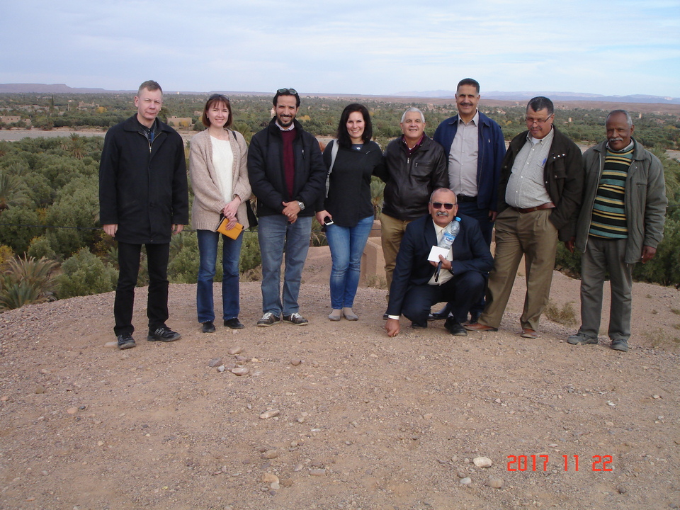
The organizers of the conference visited the oasis Skoura
In the photo (from left to right): Sergey Stankevich (CASRE), Anna Kozlova (CASRE),Hassan Ibouh (Cadi Ayyad University, Marrakesh), Valerie Graw (Centre for Remote Sensing of Land Surfaces (ZFL), Bonn), Daoud Mezzane (Cadi Ayyad University, Marrakesh) and delegate of ANDZOA.

Members of Organizing and Scientific committees:
In the photo (from left to right): CASRE’s Director Mykhailo Popov, Hassan Ibouh (Cadi Ayyad University, Marrakesh), Daoud Mezzane (Cadi Ayyad University, Marrakesh), Valerie Graw (Centre for Remote Sensing of Land Surfaces (ZFL), Bonn), Anna Kozlova (CASRE) and Sergey Stankevich (CASRE).
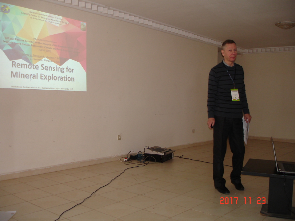
Sergey's Stankevich report.
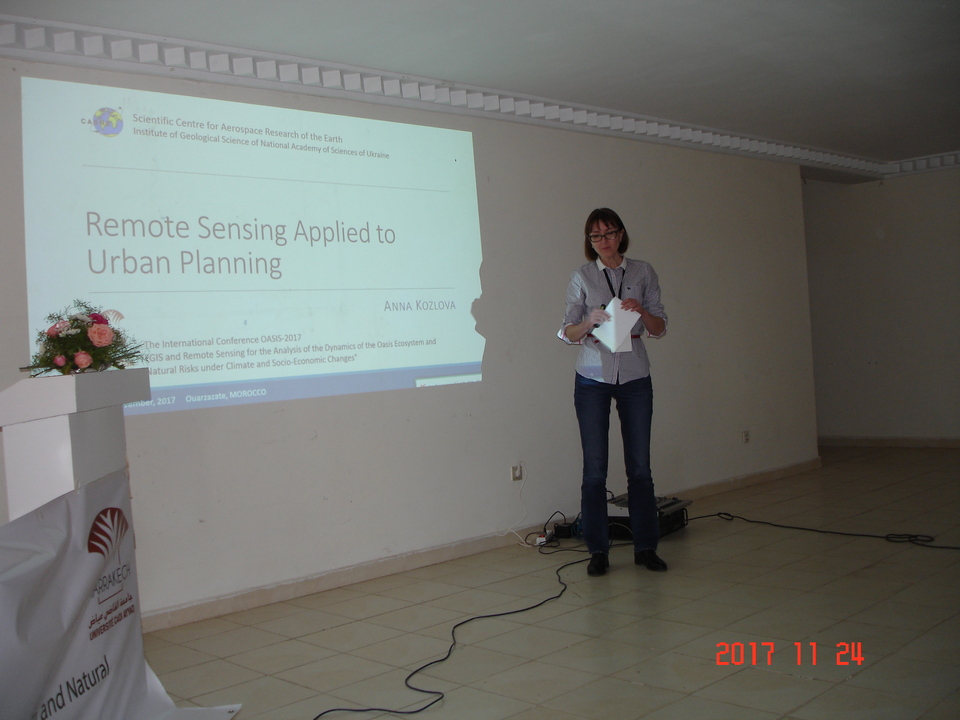
Anna's Kozlova report.
